Building date: Unknown, razed unknown.
Original use:
Corner structures:
Mortar application and content:
Types and uses of stones:
Types and choice of windows:
Structures with similar masonry details:
Masons who worked on building:
Unique features:
Map views courtesy Google Maps. Address is Google Earth confirmed; 43°01'29.59"N 76°55'13.32"W.
Town of Galen and Wayne County 1978 Highway Maps
"The Cobblestone Houses of Upstate New York", compiled by Dorothy Wells Pease. Research done in collaboration with Hazed B. Jeffery, supplemented with material furnished by Carl F. Schmidt, 1941. Reference the fourteenth paragraph on page 29.
Gal-13 Mishael Beadle Ruin history sheet. From the personal research of cobblestone historian Karen Crandall.
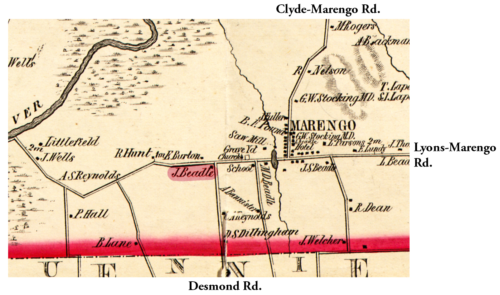 1853 Wayne County Gal-13 Excerpt Map.jpg ¹ | 
|
¹ 1853 Wayne County Gal-13 Excerpt Map courtesy Library of Congress.
